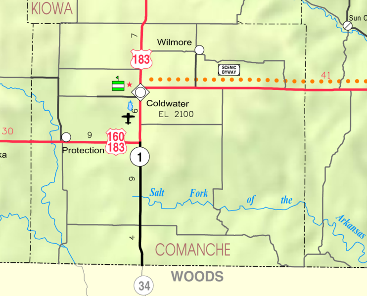
Comanche County, one of the southern tier, is the sixth county east of the Colorado state line. It was created by an act of the state legislature in 1867, which provided for the division into counties of all the unorganized part of the state east of range line 26 west, and was named for the Comanche tribe of Indians.
The act provided the following- bounds for Comanche county: "Commencing where the east line of range 16 west, intersects the 6th standard parallel, thence south to the 37th degree north latitude, thence west to the east line- of range 21, thence north to the 6th standard parallel, thence east to the place of beginning." By political divisions, it is bounded on the north by Kiowa county; east by Barber; south by the State of Oklahoma, and west by Clark county. Its area is 795 square miles. Source: Kansas: A Cyclopedia of State History by Frank Wilson Blackmar, 1912
County Seat: Coldwater, Kansas
Date organized:1885
County History:
- A Cyclopedia of State History by Frank Wilson Blackmar, 1912
- History of Coldwater, Kansas
- Comanche County, Kansas information at Genealogy Inc,.
- History of Protection, Kansas
Historic Landmarks, State, National:
County Historical Society:
Comanche County, Kansas History and Genealogy
Comanche County Museum 105 W. Main Coldwater, Kansas(620) 582-2108
Websites about the county:

