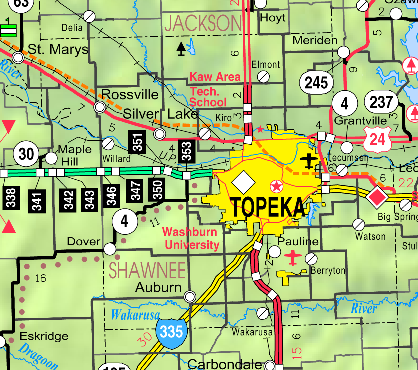
Shawnee County is situated in the third tier of counties west of the Missouri River and contains 357,120 acres of land. The face of the county is such as is general in the eastern part of Kansas, where water courses thread the territory. It is a rolling prairie, nearly 150 feet above the bed of the water courses, with hills or mounds rising 100 feet above the land level.
The most notable elevations are in the western range of townships. Burnett's Mound, the highest point in the county, is situated some four miles southwest of Topeka, in Mission Township. The land is described in the government and county surveys as "bottom land, 31 percent; upland, 69 percent; forest 8 percent; prairie, 92 percent." The timber, natural growth, is confined to the bottoms of Kansas River, and the numerous creeks and streams tributary to it. It consists of elm, cottonwood, black walnut, oak, sycamore, box elder, hickory, and ash.
County Seat: Topeka, Kansas (Also the State Capital)
Date organized:1855
County History:
- Shawnee County on Wikipedia
- Blackmar's Kansas Cyclopedia, Shawnee County
- Cutler's History of the State of Kansas, Shawnee County
- A Brief History of Topeka, Kansas
- Topeka Genealogy Society
- Richland, Kansas (Ghost Town)
- William W. Cone's Historical Sketch of Shawnee County
Historic Landmarks, State, National:
- National and State Register of Historic Places
- The Kansas State House
- The Topeka Zoo | Facebook
- Stormont Vail Events Center | Facebook
- Lake Shawnee | Facebook
- Washburn University | Facebook
County Historical Society:
- Shawnee County Historical Society | Facebook
- The Kansas State Historical Society | Facebook
- Kansas Museum of History | Facebook
- Museum of the Kansas National Guard | Facebook
Websites about the county:
- Shawnee County Government
- City of Topeka, Kansas
- City of Rossville, Kansas
- City of Silver Lake, Kansas
- Government of the State of Kansas
- The Shawnee County Extension Office
- The Topeka-Capital Journal
- Topeka & Shawnee County Public Library | Facebook
- Auburn Community Theater in Auburn, Kansas | Facebook Group
- The Lessman Farm home of Truckhenge and Catfish Pond | Facebook
Shawnee County History Timeline
1847 - St. Mary's Catholic Mission among the Pottawatomies, originally established on Sugar Creek, by Rev. Christian Hoeken, is removed to the south side of the Kaw, in the southwest part of Shawnee County. In the spring of 1848, Fathers Verreydt and Gailland, with four Sisters of the Sacred Heart, established the present mission, on the north side of the river.
1848 — The Baptists erect a log mission building in Shawnee County, and Rev. Robert Simerwell opens a school here. — Abram B. Burnett, a Pottawatomie chief, settles near Topeka. and gives the name to "Burnett's Mound."
March 1848 — Uniontown was established as an Indian trading post in the present Dover township, Shawnee County, then on the Pottawatomie Reserve.

