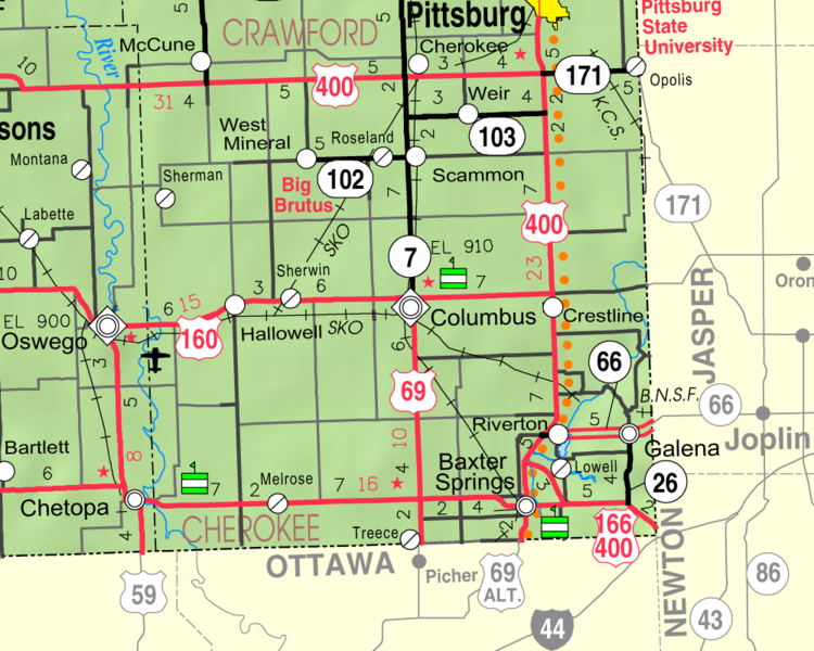
Cherokee County is situated in the southeast corner of the State. It is bounded on the north by Crawford County, on the east by Missouri, on the south by the Indian Territory, on the west by Labette County. It lies within what was originally McGee County, which according to the "Bogus Statutes," was bounded as follows: "Beginning at the southeast corner of Bourbon County; thence south to the southern boundary of this Territory: thence west on said boundary twenty-four miles; thence north to a point due west from the place of beginning; thence east twenty-four miles to the place of beginning."
The name of the county was changed from McGee, which name had been applied to it in honor of A. M. McGee of Kansas City, a noted Pro-slavery leader of those early days, to Cherokee, in honor of the Cherokee Indians, on the 18th of February, 1860, by the Territorial Legislature in the following language: "That the name of the County Magee (McGee) be and the same is hereby changed to that of Cherokee, and detached from Bourbon County, and the town of Freepoint shall be the temporary county seat thereof." By the same act John Sears, John Lemon and B. M. Blanton were appointed Commissioners to divide the county into townships, not exceeding three in number, each township to be an election precinct; and a special election was appointed for the fourth Monday in March, for the election of county and township officers. On the 27th of the same month, the western boundary of Cherokee County was declared to be the line between Ranges 21 and 22. Source: Cutler's History of the State of Kansas
County Seat: Columbus
Date organized:August 3, 1866
County History:
- Cutler's History of the State of Kansas, Cherokee County
- Galena Museum, Galena, Kansas
- Cherokee County History on Wikimedia
- History of Baxter Springs, Kansas
- Kansas Mines History
Historic Landmarks, State, National:
- Big Brutus
- Ballard Mine
- Barr Mine
- Route 66| National Park Service website For Route 66
- Tri-State Marker
- Rainbow Curve Bridge
- Swalley Mine
- Mid Continent Mine
- Eisler brother "Old Riverton Store", formerly Williams' Store in Riverton Kansas on US Route 66.
- Rial A. Niles House in Baxter Springs, KS
- Old Phillips 66 gas station, now Baxter Springs Route 66 Visitor's Center
County Historical Society:
Cherokee County Kansas Genealogical and Historical Society Inc.
Websites about the county:

